There was more rain last night and with more forecast for tomorrow, the Environment Agency has issued this update to their Flood Alert for the Eastern Yar.
They say:
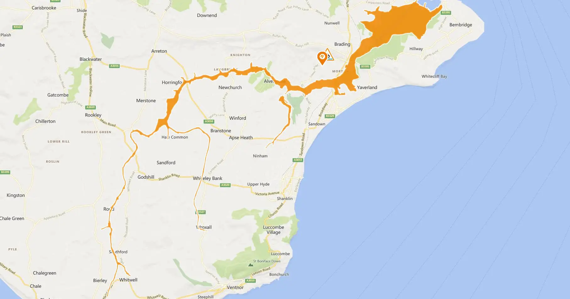
Flooding is possible for: Eastern Yar and tributaries from Whitwell to Bembridge.
Be prepared.
The water level in the Eastern Yar remains high, although conditions are beginning to improve. Overnight 9 mm of rain was recorded at Wroxall.
At Alverstone, the river is rising, but it should peak by 10:00 at a similar height to yesterday.
At Sandown, the level should slowly fall for most of the day. Flooding to land, footpaths and cycle tracks throughout the Yar Valley will continue.
Golf Links Road will remain flooded, but impacts at Moreton Common Road should reduce. A small amount of rain (6 mm) is forecast this afternoon (02/02/2021). This will not alter the current situation.
Tomorrow (Wednesday 03/02/2021) up to 15 mm of rain is forecast. This rainfall won’t flood property, but it will cause an additional increase in water level, and existing flood impacts will continue.
We have lowered the level at Bembridge sluice. Please avoid flooded areas and remain prepared for further flood impacts this week.
Follow the updates on the Environment Agency Website.