At a recent Isle of Wight council Corporate Scrutiny meeting representatives from Island Roads explained what factors are considered to assess whether a road needs resurfacing.
The discussion was sparked by a question from Gill Kennett (IWALC rep) who asked,
“If you have an issue you consider to be dangerous and have been through the District Steward and nothing has happened, how else would it be picked up?”
Houghton: We’ll send out an inspector
Phil Houghton from Island Roads explained that ‘measurement of condition’ is one part of process when surveying the current state of the highway, in addition there are a separate series of requirements linked into their network safety responsibilities.
“We will send out an inspector trained on intervention levels, ie. a pothole of a certain depth would automatically trigger an intervention.
“There are regular, planned and statutory obligations in addition to surveys.”
Houghton: Might look like a patchwork quilt, but it is serviceable
Mr Houghton went on to explain that the visual appearance of a road is a small factor – surveys that are undertaken measure profile texture, cracking etc. He said,
“Generally you can have road that has had a significant number of repairs, it might look like a patchwork quilt, but could still be serviceable.
“Because something doesn’t look as nice as a brand new shiny road, that’s not a characteristic for immediate intervention.”
Dangerous potholes
He went on to add,
“If there is a dangerous pothole that is clearly dangerous, far too deep and a hazard to passing traffic, it will be subject to an inspection if it gets reported, or subject to one of the periodic safety inspections.”
Report via Fix My Street
Mr Houghton urged Isle of Wight residents to use the Fix My Street Service (Web and App versions available) a service News OnTheWight alerted readers to in 2010 and 2013.
It’s great to now see it being used to track reports by Island Roads. The service allows anyone to see what has been reported and whether the issue has been resolved. You can use it to report flytipping, potholes, etc.
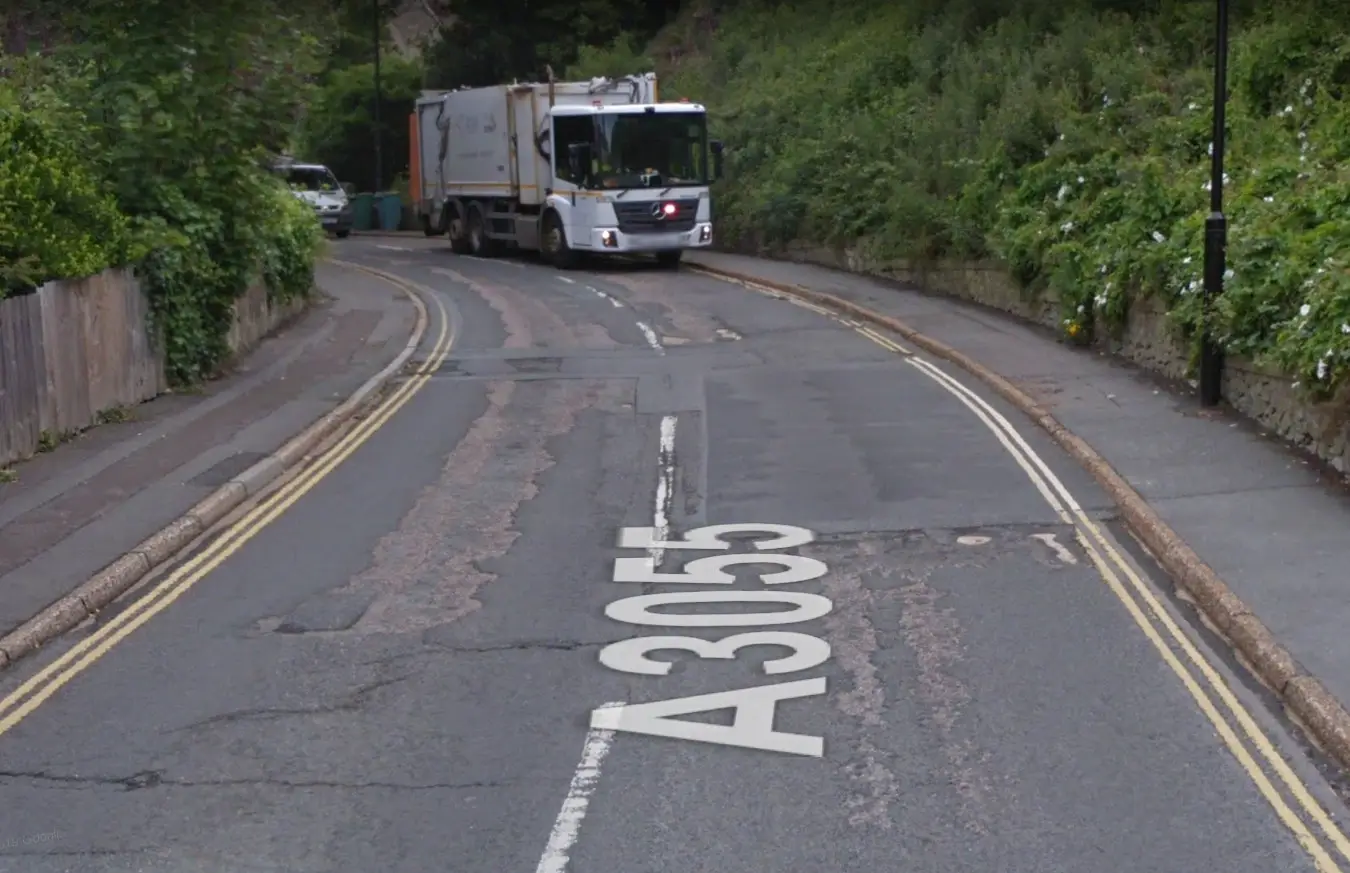
Image: © Google Maps/Streetview