The Environment Agency have issued two flood alerts for the Isle of Wight this afternoon as the rain continues to fall.
The first is for the Eastern Yar and tributaries from Whitwell to Bembridge.
Water levels in the Eastern Yar are high and rising. In the last 24 hours, 25mm of rain has been recorded at Knighton. Most of that rain has fallen in the last six hours on already wet ground. In Alverstone, from 16:00 this afternoon, the river will be high, rising close to the top of the river bank near the main road bridge.
It will also flood Golf Links Road and Moreton Common Road at Sandown. Rain is not expected to clear the area until 18:00 this evening.
The river is unlikely to peak until at least 22:00 this evening, and with continued rain this afternoon, possibly not until the early hours of Friday morning.
By 19:00, levels will be very high at Langbridge and Alverstone. We’ve checked that Bembridge sluice is operating normally.
Please ensure that pumps used to protect property are operating or that you can take action to protect property if required.
Lukely Brook
Flooding is also possible for Lukely Brook from Carisbrooke to Newport.
Water Levels in the Lukely Brook in Newport are high and rising. In the last 24 hours, 20mm of rain has fallen at Carisbrooke. This is a significant volume in a short period of time.
In the next one hour, the river will rise to bankfull and could come out of bank from Old Westminster Lane to Hunny Cross Way, flooding footpaths. Surface water flooding could affect the bottom of Castle Street.
Further rain is expected over the next six hours, and the Aquatics Centre at Vicarage Walk near Foxes Road will remain vulnerable to flood impacts during this time.
All of our debris screens are clear and are allowing the river to flow freely. Riverside footpaths near Hunnycross Way could be flooded and impassable.
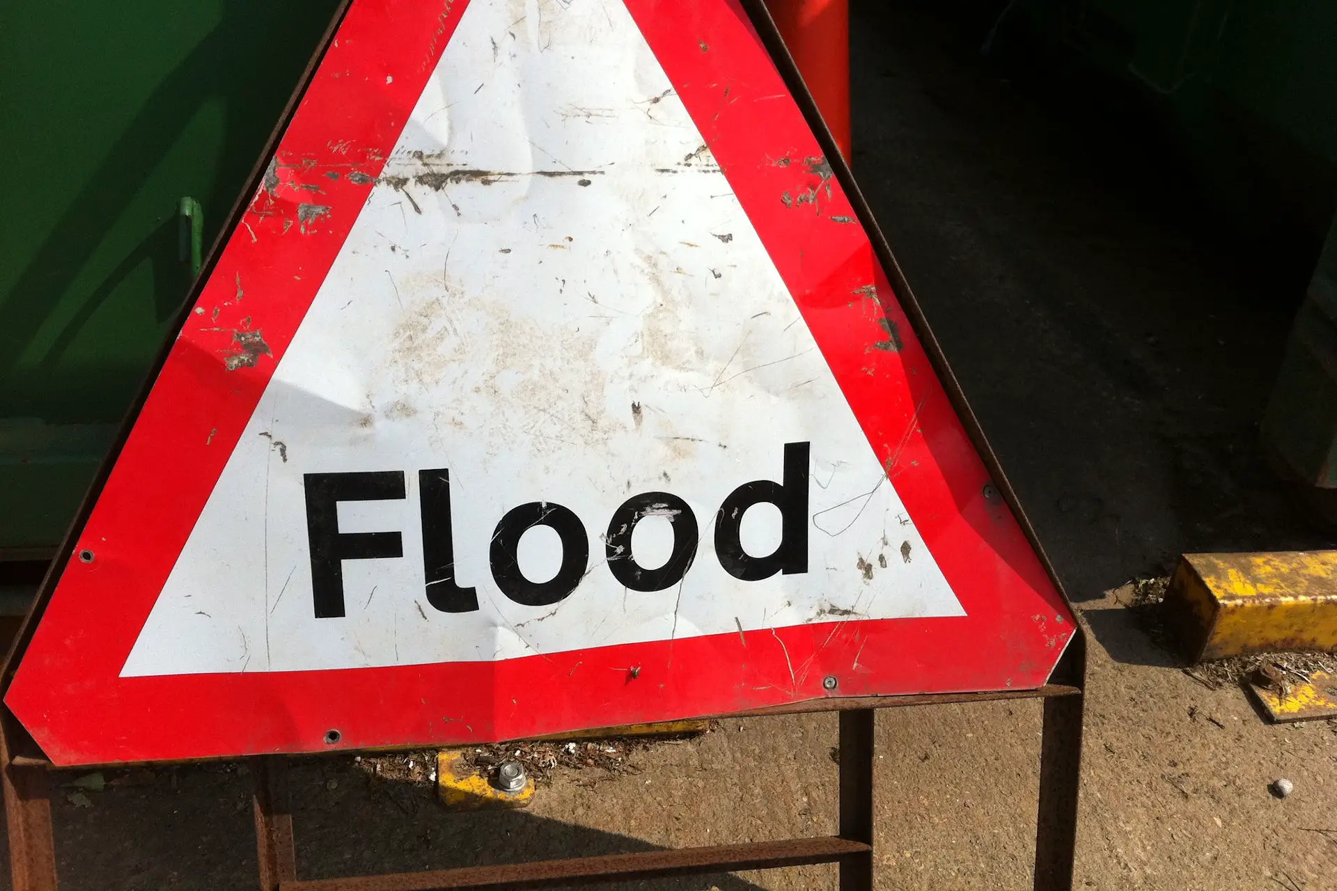
Image: howardlake under CC BY 2.0