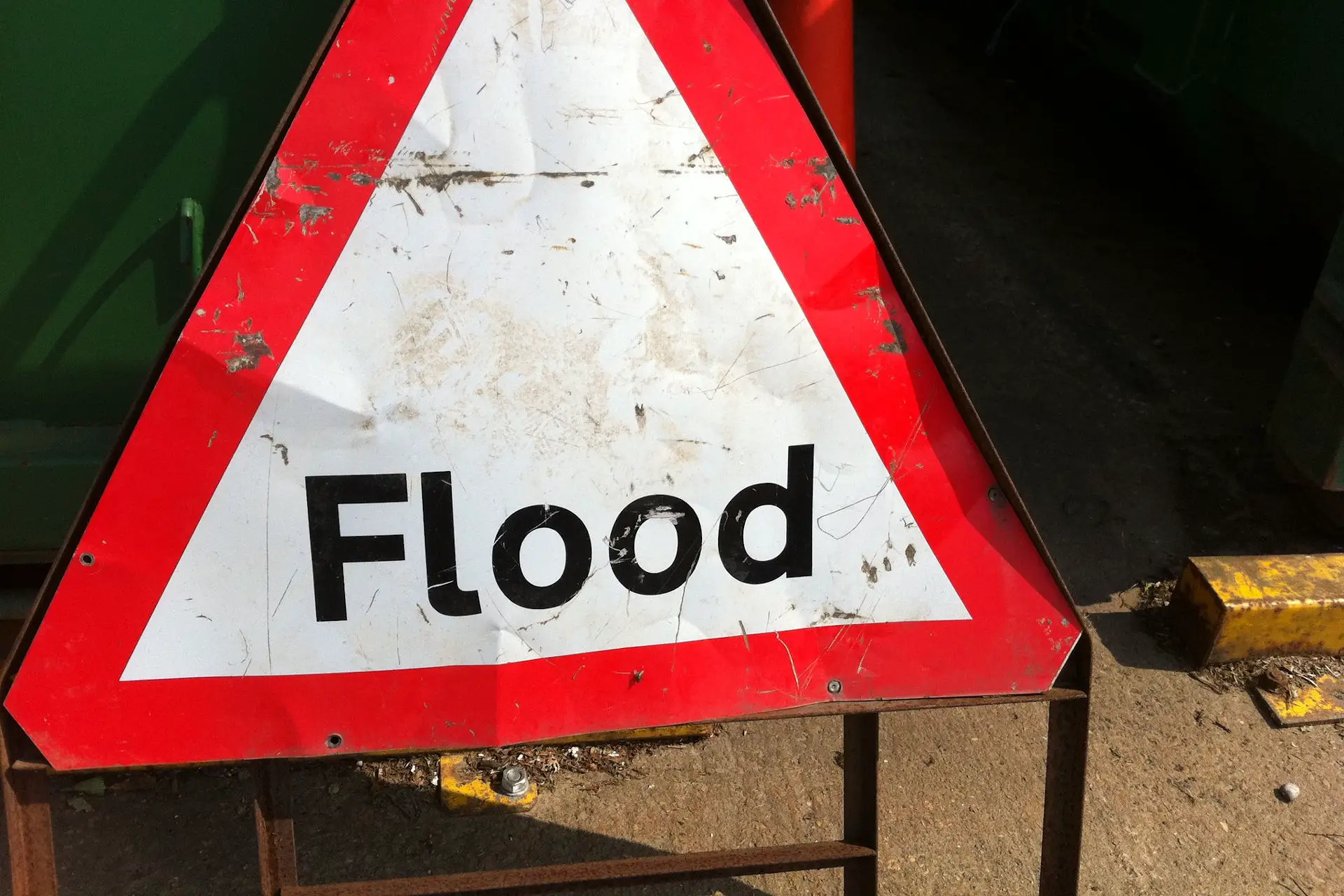
The Environment Agency have issued more flood alerts for the Isle of Wight, affecting the Eastern Yar and tributaries from Whitwell to Bembridge as well as Gurnard Lock.
The Eastern Yar is high and rising. In the last 24 hours, 25mm has been recorded at Knighton.
There will be extensive out of bank flooding affecting land, gardens, cycle tracks and roads including Golf Links Road and Moreton Common Road, Sandown.
At Alverstone and Langbridge, the river will continue to rise for at least the next 7 hours. It is unlikely to peak until 01:00 (17/02/2020).
By 22:00 the river will be held back by the main road bridge at Alverstone. The river may come very close to property at Alverstone and Langbridge. At Sandown, the river will not peak until tomorrow morning, but property flooding is not expected.
On Monday (17/02/2020), very small amounts of rain are forecast, but this may still keep the river higher than normal.
Over the next 10 hours, the river may be higher than it has been in the last 2 months. Bembridge sluice is operating normally. Please install flood protection if you have it.
Flood Alert in force: Gurnard Luck
Flooding is possible for: Gurnard Luck, Gurnard. Be prepared.
Water levels in the Gurnard Luck are high and rising. In the last 24hours, 30mm of rain has been recorded at Cowes. This afternoon’s tide expected at 17:00 on 16/02/2020 is not overly high, but it will cause the river to rise until 18:00. In that time, properties sited next to the river in Marsh Road may experience garden flooding.
From 18:00 onwards, the river should begin to drain with the tide and no further impacts are expected.
Tomorrow (Monday 17/02/2020) only very small amounts of rain are forecast and the situation should improve. We continue to monitor the forecast.
Please keep away from the river at Gurnard Road Bridge over the next few hours. Water will be deep and fast flowing.
Image: howardlake under CC BY 2.0


