As well as the Met Office weather warning for the Isle of Wight, the IW Met Service have issued a more localised version.
Valid from 13:00 on Saturday 15th until 10:00 Sunday 16th, it reads:
A spell of wet and windy weather is expected over the weekend with fairly large rainfall totals in some areas.
Saturday afternoon will see the winds increase with South to Southwesterly gusts of up to 60-65mph.
As we move into the early hours of Sunday we will see further spells of rain which are likely to become heavy and rather persistent at times and will be accompanied by a very strong and gusty South to Southwesterly wind.
Gusts of up to 65mph or even 70mph are possible in more exposed areas such as over the hills and on exposed headlands although gusts closer to 50 or possibly up to 60mph are likely elsewhere.
The rainfall will be a fair amount higher than on Saturday with 15-20mm of rain possible in some locations. As we move into the afternoon the winds will ease back significantly although heavy outbreaks of rain are still possible until the evening.
There is no risk of a significant storm surge and no risk whatsoever of coastal flooding although rivers and streams may breach their banks in prone locations due to the amount of rain falling over the weekend as a whole.
For more information and to keep an eye on updates, visit the IW Met Service Website.
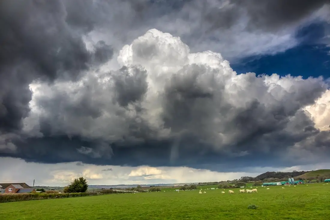
Image: © Jamie Russell Island Visions